
Walk a Palm Coast Street
A useful Palm Coast street directory treats an address as a chain, not as a single result. Start with the physical parcel, then move to people and documents tied to it. The assessed owner is not automatically an occupant. A voter address supports residence, yet covers only registered voters whose records are not protected. A directory edition can add a listed subscriber, but never every person under the roof.
- Enter the situs address in the Flagler Property Search. Save the parcel number, legal description, assessed owner, mailing address, and latest sale reference.
- Open the county parcel map and move along the named street. Click each polygon rather than assuming one list contains the whole block.
- Use the Florida public voter extract or a focused request to sort public residence fields by street. The individual lookup is not a block browser.
- Follow the sale instrument into Landmark Official Records. Match the legal description before tying a deed party to the parcel.
- Check Palm Coast permits and code files for dated address events. Consult local directory volumes for older listed occupants.
This sequence separates ownership, title, and residence. That distinction matters in Palm Coast, where trusts, estates, and out-of-area mailing addresses are common.
Palm Coast Street Search Fields
The Property Appraiser's current roll is the best first screen for a street-by-street search. A parcel is one mapped unit of land. The portal accepts several identifiers, so a misspelled street can be broadened with a partial address or replaced with the parcel number once known.
| Search choice | Input | Required | Use on a street |
|---|---|---|---|
| Owner Name | Text | No | Try surname, business, and spelling variants. |
| Location Address | Text | No | Use situs number and street; drop the suffix to broaden. |
| Parcel Number | Identifier | No | Reopens one exact mapped parcel. |
| Legal Description | Text | No | Search subdivision and lot or block terms. |
| Advanced Search | Filters | No | May expose subdivision, class, value, and location choices. |
A parcel card may show owner and mailing names, situs, legal description, subdivision, values, exemptions, sales, building facts, and a sketch. Assessment ownership is not proof of legal title. Confirm it against the recorded deed.
Sales history can carry the instrument or book-page reference needed for the next step. Exemptions also need care. Homestead supports owner occupancy for tax purposes, but it does not name a spouse, child, roommate, or any other household member. Building sketches and photos describe improvements, not people. When the portal fails, the Property Appraiser office in Bunnell remains an access channel at 386-313-4150.
Palm Coast Records By Street
No official Palm Coast resident roll includes every household member. The street directory becomes more reliable when each record is used only for what it actually shows. These are the main address-keyed channels documented for Palm Coast and Flagler County.
| Address source | Custodian | Best evidence | Access route |
|---|---|---|---|
| Parcel card | Flagler Property Appraiser | Assessed owner, situs, mailing, legal description, sales | QPublic, GIS, or office |
| Deed, lien, plat | Flagler Clerk Recording | Title parties, land identity, recorded dates | Landmark from 1988; historic search and terminal to 1917 |
| Public voter data | Florida Division of Elections | Public registered-voter residence fields | Monthly extract or request |
| Permit and code file | Palm Coast City Clerk | Address event, named party, dates | City search, E-Plan, or Chapter 119 request |
| Directory volume | Flagler County Library | Listed subscriber in one edition | Catalog and on-site shelf |
The parcel number and legal description bridge the map to deeds and plats. Street text bridges permits, public voter files, and reverse directories, but spelling and postal formats can change. Preserve both forms.
Copies and in-person access differ by custodian. Landmark's released images and index are free to search. Ordinary Clerk copies cost $1 per page, plus $2 per document for certification. A certified copy is an official copy carrying the custodian's certification, while an index hit is only the finding aid. The county also offers GIS parcel data with boundaries, lot and block numbers, streets, centerlines, and tax-roll fields for $35 when a long street is too slow to click parcel by parcel.
Browse Palm Coast Parcel Streets
After locating one parcel, use county GIS to pan along the road and click nearby polygons. The map offers address or parcel search, basemaps, layers, select tools, and zoom controls. Aerial imagery adds site context, while attributes link back to the property record. County parcel lines are described as work in progress and about 90 percent complete. They are not a survey.
City layers add limits, districts, zoning, and Palm Coast neighborhood-letter sections. This geography matters near annexed land and western growth. A postal city line, municipal limit, taxing district, and service area can differ.
For one property, zoom until parcel outlines appear, select the target, and record the displayed situs and legal lot or block. Then click each touching polygon. Switch between street and aerial basemaps when a road edge or vacant tract makes adjacency unclear. The measure tool can show distance, but it has no power to establish ownership. Return to each parcel card for names and mailing fields.
The Palm Coast Planning portal supplies map and project context for the street directory.
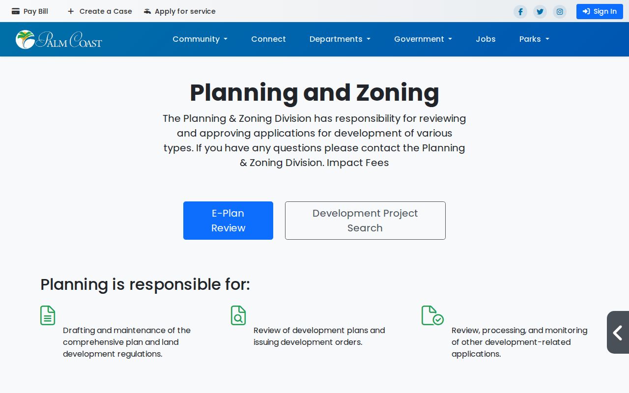
The planning screen adds zoning and project context without turning a map label into proof of residence.
Palm Coast Lettered Street Directory
Palm Coast's planned pattern creates a local search aid. City GIS maps Indian Trails as a B section, Palm Harbor with C and F, Cypress Knoll as E, Matanzas Woods as L, Lehigh Woods as R, Pine Lakes as W, and Seminole Woods with S and U. Quail Hollow includes K, LL, and Z. Belle Terre and Pine Grove use P, while Woodlands includes BL.
The City Clerk's public-record search accepts an asterisk wildcard. The documented pattern 2 R* retrieves several addresses that start with that text. It helps when only a house number and first letter are known. Broad retrieval may carry a reasonable service charge when it needs extensive staff or technology work.
Note: A letter section narrows the search, but parcel and city-limit layers control the final match.
Palm Coast Deeds Along Streets
Deeds are indexed mainly by party and legal description, not a clean modern street field. Start with the parcel card's latest instrument or book and page. Landmark can retrieve the image and identify grantor, grantee, recording date, return address, and legal land description. A grantor gives an interest; a grantee receives it.
Landmark begins September 1, 1988 online. Earlier Flagler books require the historic name search, courthouse public computers, or staff help. County governmental books start in 1917. Earlier land may lead to St. Johns or Volusia County.
Plats are essential on a Palm Coast street because they carry subdivision, lot, block, roads, and easements. Follow any plat book and page cited in a deed. If a street address is absent from an older instrument, match the lot and subdivision instead. Mortgages, liens, releases, satisfactions, and corrective deeds can appear between purchase deeds, so document type and party role must be read before a prior owner is claimed.
The Flagler official-record overview explains the Recording Division's role.
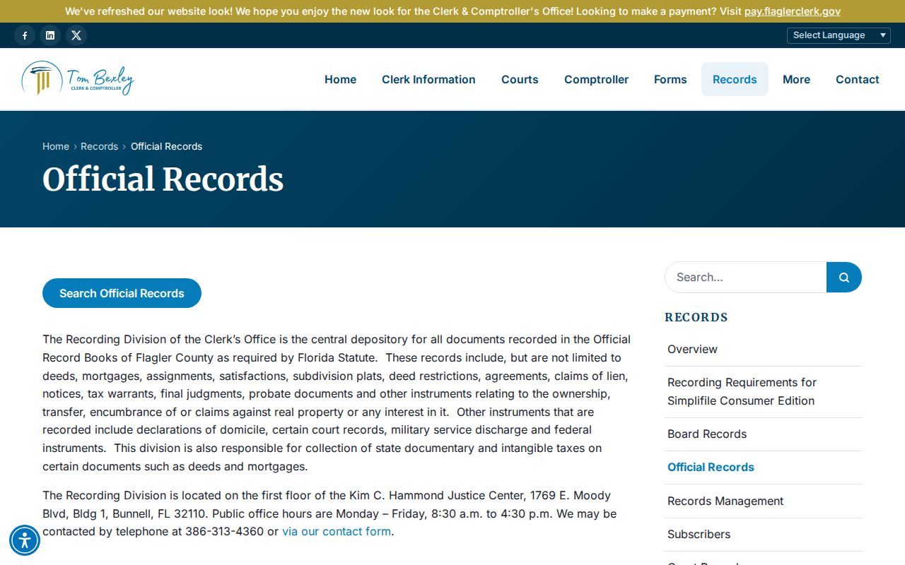
The overview points to office help when an address cannot be tied to an online entry.
Palm Coast Street Record Terms
Address records use similar words for different facts. Keep them straight so a mailing address is not reported as a home and a current street can connect to older land records.
- Parcel
- A mapped unit of land with a county identifier.
- Situs address
- The physical parcel location used on assessment and permit records.
- Plat
- A recorded subdivision map of lots, blocks, roads, and easements.
- Legal description
- The deed's durable land identity, often subdivision, lot, block, and plat.
- Criss-cross directory
- A directory arranged by address or phone for one edition.
The owner mailing address only shows where tax notices go. It may be an office, trust contact, or address outside Palm Coast.
Palm Coast Address Event Records
Permits and code files date events at an address. A permit can name the address, applicant, contractor, work, dates, and status. A code file may name a responsible party and show a timeline. Neither proves that each named person lived there.
Use Palm Coast Planning for E-Plan and zoning links, then ask the City Clerk for a focused file when online search fails. State the address, record type, and date span. Ask for electronic delivery and a cost estimate.
The Flagler recording information page distinguishes recorded documents from city event files.
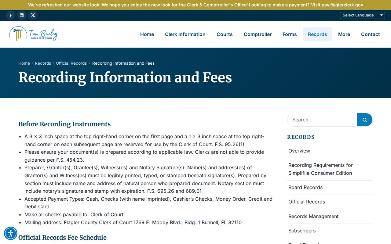
The recording page supports the deed side; permits and code files supply dated property events.
Palm Coast Voters By Street
Florida public voter data can support lawful address sorting. The monthly state extract covers active and inactive voters through the prior month's last day, with protected entries removed. Public fields can include name, residence, birth date, party, phone, and email. Social Security and driver identification numbers are closed, while a signature may be viewed but not copied.
Use the state voter extract channel or request Flagler data with fields and format stated. My Voter Info needs a name and birth date. It is for individual service, not browsing a street. Election history means participation, never ballot choices.
Note: Street counts omit nonvoters, ineligible people, and residents covered by exemptions.
Older Palm Coast Street Residents
The Flagler County Library catalog has Palm Coast items and InfoUSA directory records, but exact edition years were not confirmed. Treat each reverse entry as a dated subscriber listing. It does not prove every renter or family member. The collections belong on the Palm Coast city directory page; use them here only after the parcel is fixed.
Palm Coast development began around 1969, with incorporation in 1999. Plats, deeds, permits, aerials, newspapers, and early resident files often carry more weight than classic directories. Older named census returns describe rural precincts or parent-county geography, not today's city line.
Palm Coast Street Directory Limits
A street directory cannot name everyone at an address. Tax records omit renters and non-owner relatives. Deeds identify title parties, not occupancy. Voter files miss nonvoters and protected voters. Printed directories list subscribers, and Palm Coast utility customers are not a casual public roll. Driver addresses are restricted by federal law.
Official results can lag. A recent Landmark item may appear before its released image. GIS lines are not surveys. A matching mailing address may support owner occupancy, especially with homestead, but it is not a household list.
Lawful use. Use Palm Coast address records for family history, civic research, property questions, or personal safety. Never use them to stalk, harass, intimidate, or harm anyone.