
Palm Coast ZIP Coverage
Palm Coast has two main general-delivery ZIPs. A third ZIP is associated with post-office boxes, while Bunnell delivery may appear near western and southern edges. These are mailing patterns, not legal boundary lines. USPS should verify a specific address, and the city or county map should separately establish jurisdiction.
| ZIP | Broad area served | Postal type | Key caution |
|---|---|---|---|
| 32137 | Northern and eastern Palm Coast, including Palm Harbor, parts of Indian Trails, Matanzas Woods, coastal and Hammock-area mailing addresses | Palm Coast delivery | Spans varied neighborhoods and may reach beyond strict city limits |
| 32164 | Central, southern, and western Palm Coast, including Town Center, Belle Terre, Pine Lakes, Lehigh Woods, Cypress Knoll, and Seminole Woods | Palm Coast delivery | A broad growth area; City Hall uses this ZIP |
| 32135 | Palm Coast | Post-office-box associated | Do not map it as a normal residential polygon |
| 32110 | Bunnell and western or southern Flagler County | Bunnell delivery | May appear near Palm Coast planning and annexation edges |
No official indexed source supplied a neighborhood-by-ZIP boundary table or a documented local split year. Third-party polygons should not be presented as municipal lines. This ZIP code directory therefore uses broad verified descriptions and directs every house-level question back to USPS, parcel, and city geography.
Two Main Palm Coast ZIP Codes
The difference between 32137 and 32164 is useful at a broad scale. The northern and eastern zone includes coastal mailing areas and several lettered neighborhoods. The central, southern, and western zone covers City Hall and much of the city’s newer growth. Neither ZIP code acts as a neat neighborhood border. Large delivery zones cross subdivision identities, tax districts, and other lines used by public agencies.
Palm Coast’s planned layout adds another local aid. GIS identifies neighborhood letter sections such as Indian Trails, Palm Harbor, Cypress Knoll, Matanzas Woods, Lehigh Woods, Pine Lakes, Seminole Woods, Quail Hollow, Belle Terre and Pine Grove, and Woodlands. A letter section can refine a broad postal area, but it still does not replace a parcel number or verified street address.
Why Palm Coast 32135 Differs
ZIP 32135 is associated with Palm Coast post-office boxes. A PO-box ZIP routes mail to boxes instead of describing a normal block-by-block residential area. Plotting it as if it covered homes creates a false map and may attach a person to the wrong physical place. When a record shows only a box, preserve that value as a mailing contact and look elsewhere for a public situs address.
An owner’s tax mailing address may also be outside Florida. Rapid interstate and retirement-oriented migration makes that common in Palm Coast. It shows where tax correspondence goes, not where the owner or another resident lives.
Find Palm Coast Residents by ZIP
A ZIP-wide search works best as a filter, not a final identification. QPublic advanced search may expose location or ZIP filters depending on the current interface. When it does not, request or export the public assessment roll and filter the situs ZIP. Florida’s public voter extract includes address components under its current layout, with protected entries removed. The self-service voter lookup is for an individual’s own registration and is not a public block browser.
- Verify the full delivery address through the USPS address mode, not only by city and state.
- Search the Flagler property roll for the situs ZIP or filter a lawful public roll extract.
- Open matching parcel cards and keep the situs and owner mailing fields separate.
- Check the city-limit and taxing-district layers for jurisdiction, especially near growth edges.
- Use the voter extract only through its public request route and respect all protected omissions.
Once the postal area narrows to a road, the Palm Coast street directory explains the address-level trail. A ZIP code directory should not be used to claim that every owner shown on a parcel card is a resident or that every person in a household appears in a public roll.
Palm Coast ZIP Filters and Voter Data
Florida treats voter registration data as public in part, but not without limits. A public file can include the voter’s name, residence address, mailing address, party affiliation, precinct, registration date, status, voter history, district fields, and voter ID number. That history means whether the person participated in an election, not how the person voted. Social Security numbers, driver or state ID numbers, application source, and certain protected addresses are withheld.
The Florida voter-information rules describe the public and protected fields.
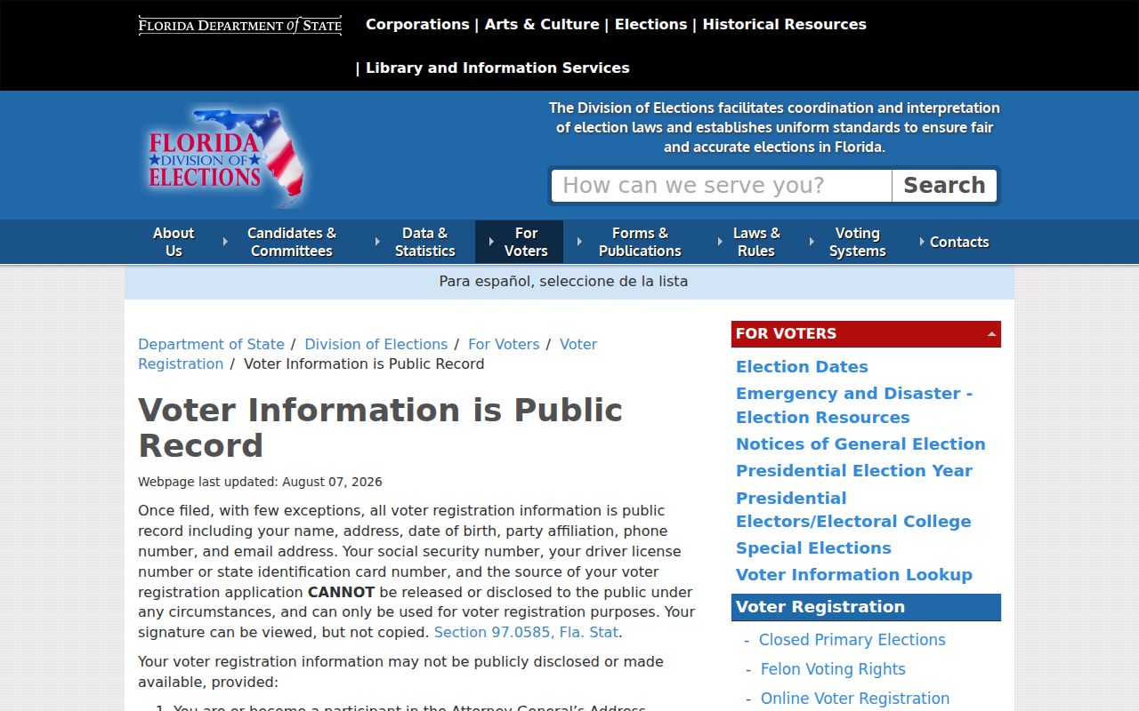
The rules explain why a ZIP result is never a complete resident list. Exempt voters and people who are not registered will not appear as ordinary rows.
For actual file analysis, use the state voter extract request, which is updated on a monthly schedule.
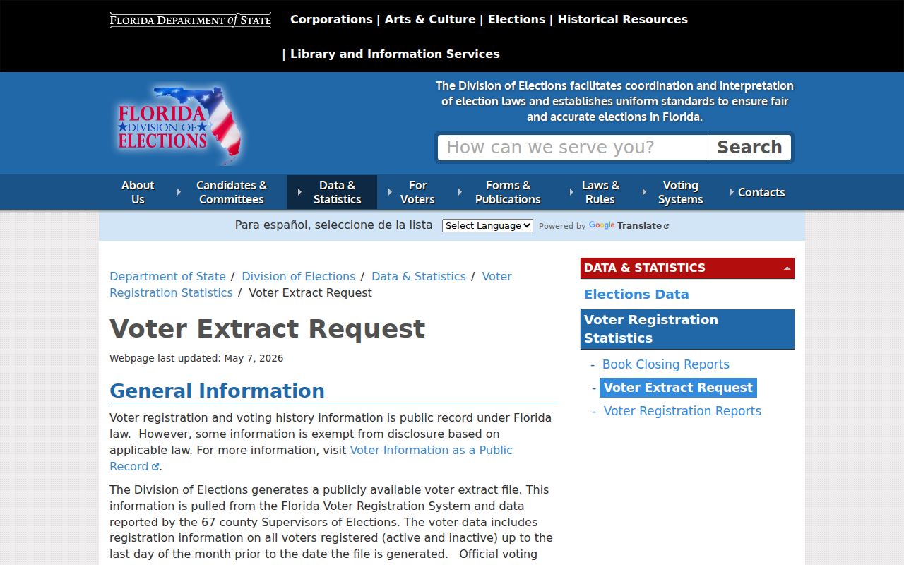
Filter the lawfully obtained extract by address components, then verify any match with a second source. Never infer an undisclosed person from a gap in the file.
Four Palm Coast Address Fields
Several address terms that look alike have distinct roles. Recording each one prevents the most common Palm Coast ZIP code search errors, especially when a tax owner receives mail elsewhere or when annexed land retains county zoning.
- Situs address
- The physical parcel location used by the assessor and permit systems.
- Mailing address
- The destination for owner tax correspondence, which can be outside Palm Coast.
- Legal description
- The subdivision, lot, block, and plat references that identify land in deeds.
- USPS ZIP
- A routing code for mail delivery, not a declaration of city jurisdiction.
- ZIP+4
- A more precise delivery segment appended to the five-digit ZIP.
- Carrier route
- A postal delivery path that may cross neighborhood or government lines.
The parcel and legal description are usually more stable than typed street wording. If USPS formatting, a road label, and local government data conflict, contact Palm Coast Planning and GIS at 386-986-3736 or gis@palmcoastgov.com.
Palm Coast ZIPs Versus City Limits
ZIP codes serve delivery operations. Palm Coast city limits govern municipal jurisdiction. A preferred postal city name can apply outside the incorporated city, and a city parcel may use a mailing convention that differs from its government boundary. Water service, voting district, and tax jurisdiction form still more layers. This mismatch is strongest near annexed and western growth areas.
City zoning includes categories labeled “Annexed Area, Flagler County Zoning adopted.” Those labels show why a postal address cannot answer a zoning or government-service question. Use the parcel record, city-limit map, and taxing districts together. City GIS maps jurisdiction and districts, but the research did not confirm a dependable ZIP layer there.
Westward Palm Coast ZIP Geography
Palm Coast continues to plan west of U.S. 1. New development, annexation, addressing, and service changes make static ZIP maps stale. The city launched a redesigned GIS Open Data Hub on May 9, 2025, with downloadable street, zoning, and future-land-use maps plus searchable city-limit and voting information. These municipal layers answer questions that a postal boundary cannot.
The Palm Coast GIS Hub launch notice identifies the new map and data tools.
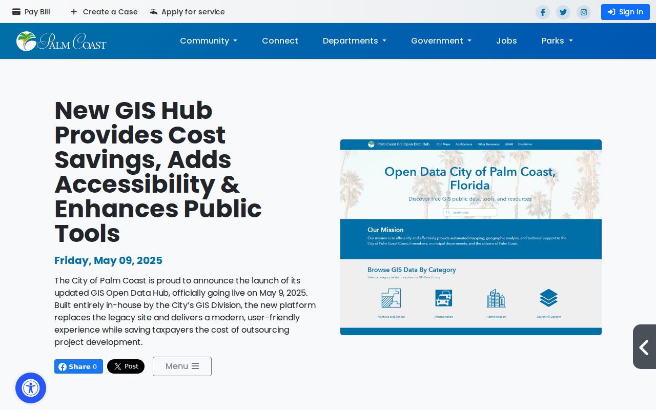
The hub helps test whether an address lies in a city district, zoning area, or planning layer after USPS has confirmed delivery formatting.
The city’s westward expansion materials show the planning context beyond U.S. 1.
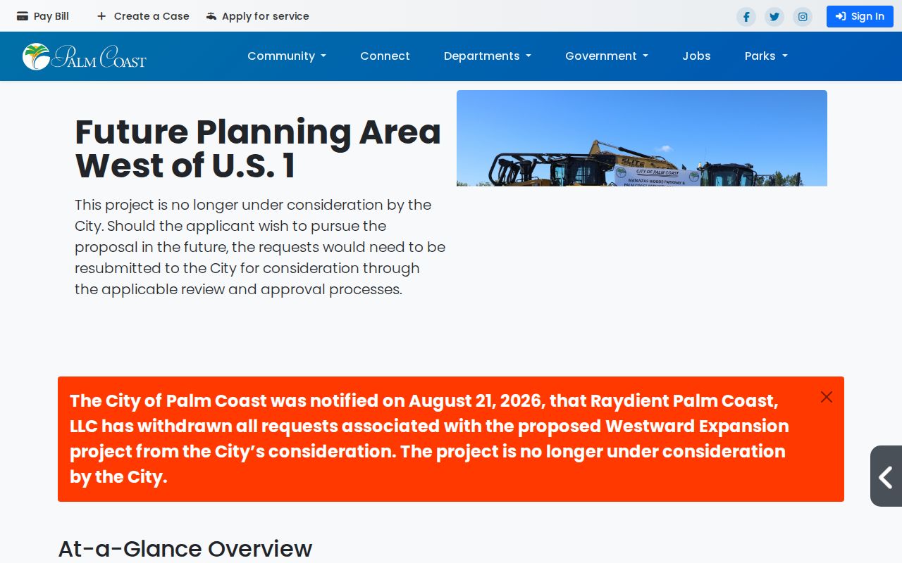
The planning area is a clear reason to date every map and avoid treating today’s postal or city boundary as permanent.
Use the Palm Coast ZIP Directory Carefully
A Palm Coast ZIP code directory can reduce a large result set and separate general delivery from PO-box mail. It cannot name every person who lives in the zone, prove that a tax owner occupies the parcel, or establish a government boundary. Protected voter entries, unregistered residents, renters, family members, and recent movers may be absent from the official sources used for ZIP filtering.
Keep a dated note of the source, the field searched, and whether an address was physical or mailing. Recheck fast-growing areas. Palm Coast was estimated at 109,886 residents on July 1, 2025, up 23.2 percent from the 2020 estimate base, so a static directory can age quickly. Use results only for lawful personal, family, property, or civic research.